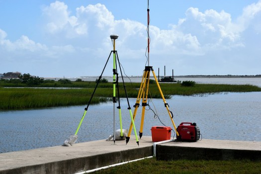
The survey of highways can be completed in four Stages (map study, reconnaissance survey, preliminary survey, final location and detailed survey). The third stage is known as the Preliminary Survey.
Preliminary Survey
The art of finding the details of alternative alignments found suitable during the reconnaissance survey is called preliminary survey.

In this survey, the routes selected during the reconnaissance survey, are actually located on the ground. The highway engineer collects necessary data in the field and prepares drawings and approximate estimates to compare the alternative routes and to finalize the best alignment from all considerations.
Method Of Preliminary Survey
The preliminary survey is carried out by any of the following methods.
1. Conventional Method
In the conventional method, a survey party carries out surveys by using the field equipment like a chain, metallic tape, prismatic compass, levelling instrument, plane table, theodolite etc.
The survey party takes measurements, collects topographical and other data and also conducts soil surveys.
2. Modern Approach
In this method, necessary topographic and other maps including details of soil and geographical features of the area are obtained by Arial survey.
Important Points to be Followed During Preliminary Survey
1. The angle of the traverse should be measured accurately by theodolite.
2. The length of the centre line should be measured by using very good and accurate chaining method or by techometry or by modern instruments.
3. Cross-section levels should be taken at suitable intervals.
4. Drainage investigations and hydrological data are to be collected carefully so as to estimate the type, number and approximate size of cross-drainage structures.
5. Soil survey is to be carried out very carefully.
Read also: